
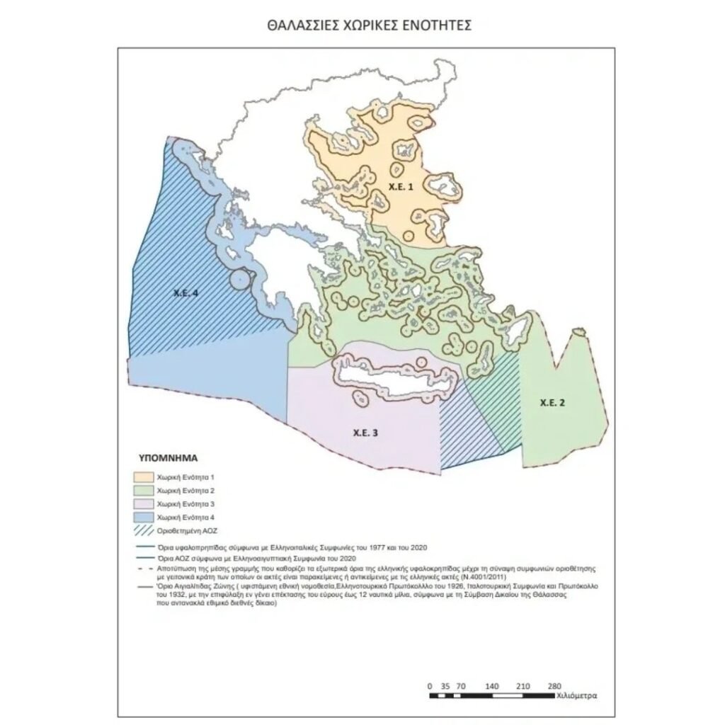
Greece has completed its marine spatial planning (MSP), as announced on Wednesday by the Ministries of Foreign Affairs and Environment and Energy, which also released the corresponding official map.
MSP aims to organize human activities in marine areas to achieve a balance of ecological, economic, and social objectives.
“For the first time, our country is establishing the rules for the organization of its maritime space,” a statement noted.
In November of last year, the European Commission published a map delineating Greece’s maritime zones, recognizing the full legal effect of all islands – including Kastellorizo in the southeastern Aegean. In response, Turkey’s Foreign Ministry issued a statement declaring that it would take “all necessary measures to protect our rights in the Aegean and Cyprus.”