

Engineers of Kalymnos Submit Unified Memorandum on the Local Urban Plan
“Red Lines” on Building Rights, Coastal Setbacks, and Settlement Boundaries
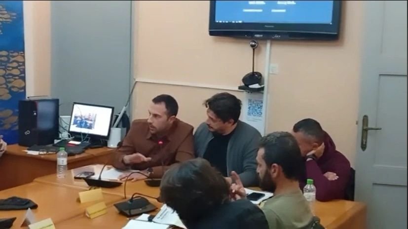
The Engineers’ Assembly of Kalymnos has formally submitted a Unified Memorandum of Positions and Proposals regarding the Local Urban Plan (LUP) of the Municipality of Kalymnos, following the presentation of alternative planning scenarios on February 1, 2026
Representing the technical community of the island, the engineers stress that the LUP will determine Kalymnos’ spatial structure for the next 30 years and must reflect the island’s special characteristics, including its mountainous terrain, fragmented land ownership pattern, limited coastal zones, and traditional settlement.
4,000 sq.m. Minimum Plot Size Declared a “Red Line”
A central demand is the retention of the 4,000 sq. m. minimum plot size for residential construction across the island. The engineers warn that any increase (e.g., to 6,000 sq.m.) would render between 85% and 99.5% of out-of-plan plots non-buildable in several areas.
According to data presented in the planning scenarios, only 1.29% of out-of-plan land has been built, compared to an allowable threshold of 10%. Even under full development of the remaining eligible plots, the percentage is not expected to exceed 2%, indicating that uncontrolled urbanization is not a realistic risk.
Proposal to Reduce the 60m Coastal Building Setback
The memorandum challenges the long-standing 60-meter setback from the shoreline imposed by Presidential Decree 29.8.1980, arguing that it is geomorphologically disproportionate and inconsistent with other traditional coastal settlements in Greece.
Engineers propose:
- Reduction to 15 meters, in alignment with more recent legislation (P.D. 11.4.2025), or
- Recognition of the already legally formed building line, maintaining 30 meters for out-of-plan plots
They cite the settlement of Masouri as a clear example where dense, legally established construction already exists along the coastline.
Settlement Boundaries and Protection of Property Rights
The memorandum calls for the preservation of existing settlement boundaries without further shrinkage and for rational re-delimitation only where absolutely necessary, taking into account cadastral parcels to avoid ownership conflicts
Expansion proposals are suggested for:
- Arginonta
- Skalia
- Emporios
- Palionisos
- Pothia–Panormos connection zone
Tourism, Climbing Fields and Alternative Development
Recognizing Kalymnos’ international climbing identity, the memorandum supports the protection of climbing fields while ensuring that environmental protection does not result in total development freeze
It also promotes:
- Mild tourism development zones (PEX3) with 4,000 sq.m. minimum plot size
- Development planning for Psérimos, where nearly 99% of land is municipal property
- Establishment of a realistic new craft/industrial zone (BIOPA)
- Quarry zones and construction waste management areas
A Call for Balance
In its concluding remarks, the Engineers’ Assembly emphasizes that the Local Urban Plan must function as a tool of balance: protecting the environment without nullifying buildable land reserves or undermining social cohesion
“The Local Urban Plan will define Kalymnos for the next 30 years,” the memorandum notes, calling on the Municipal Council to adopt these positions as firm negotiating principles